
Xirivella topographic map
Interactive map
Click on the map to display elevation.
About this map
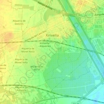
Name: Xirivella topographic map, elevation, terrain.
Average elevation: 102 ft
Minimum elevation: 49 ft
Maximum elevation: 138 ft
Other topographic maps
Click on a map to view its topography, its elevation and its terrain.
Río Turia
España > Comunidad Valenciana > Xirivella
Río Turia, Xirivella, Huerta Oeste, Valencia, Comunidad Valenciana, 46940, España
Average elevation: 121 ft