
辛宅村 topographic map
Interactive map
Click on the map to display elevation.
About this map
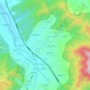
Name: 辛宅村 topographic map, elevation, terrain.
Location: 辛宅村, 济南市, 山东省, 中国 (36.38179 117.15248 36.42179 117.19248)
Average elevation: 1,345 ft
Minimum elevation: 778 ft
Maximum elevation: 2,779 ft