
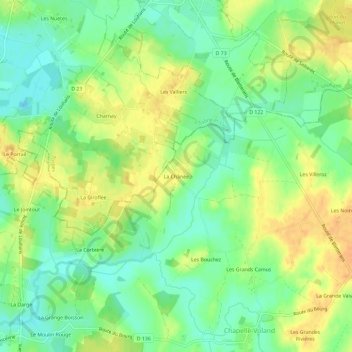
La Chânée topographic map
Interactive map
Click on the map to display elevation.
About this map
Name: La Chânée topographic map, elevation, terrain.
Average elevation: 650 ft
Minimum elevation: 597 ft
Maximum elevation: 705 ft
Other topographic maps
Click on a map to view its topography, its elevation and its terrain.
La Corbière
France > Bourgogne-Franche-Comté > Jura > Chapelle-Voland > La Corbière
La Corbière, Chapelle-Voland, Lons-le-Saunier, Jura, Bourgogne-Franche-Comté, France métropolitaine, 39140, France
Average elevation: 646 ft
Les Rabus
France > Bourgogne-Franche-Comté > Jura > Chapelle-Voland
Les Rabus, Chapelle-Voland, Lons-le-Saunier, Jura, Bourgogne-Franche-Comté, France métropolitaine, 39140, France
Average elevation: 676 ft
Les Blands
France > Bourgogne-Franche-Comté > Jura > Chapelle-Voland
Les Blands, Chapelle-Voland, Lons-le-Saunier, Jura, Bourgogne-Franche-Comté, France métropolitaine, 39140, France
Average elevation: 686 ft