
La Fuente topographic map
Interactive map
Click on the map to display elevation.
About this map
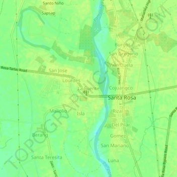
Name: La Fuente topographic map, elevation, terrain.
Location: La Fuente, Nueva Ecija, Central Luzon, Philippines (15.40673 120.91021 15.44673 120.95021)
Average elevation: 85 ft
Minimum elevation: 52 ft
Maximum elevation: 102 ft