
Cyclone topographic map
Interactive map
Click on the map to display elevation.
About this map
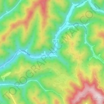
Name: Cyclone topographic map, elevation, terrain.
Location: Cyclone, Wyoming County, West Virginia, 24827, United States (37.71289 -81.70872 37.75289 -81.66872)
Average elevation: 1,709 ft
Minimum elevation: 1,066 ft
Maximum elevation: 2,631 ft