
坑东村 topographic map
Interactive map
Click on the map to display elevation.
About this map
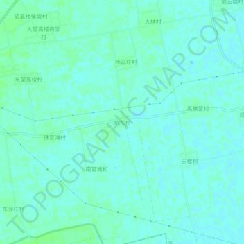
Name: 坑东村 topographic map, elevation, terrain.
Location: 坑东村, 获嘉县, 新乡市, Henan, Chine (35.13027 113.56968 35.17027 113.60968)
Average elevation: 272 ft
Minimum elevation: 262 ft
Maximum elevation: 285 ft