
Alberca de Los Espinos topographic map
Interactive map
Click on the map to display elevation.
About this map
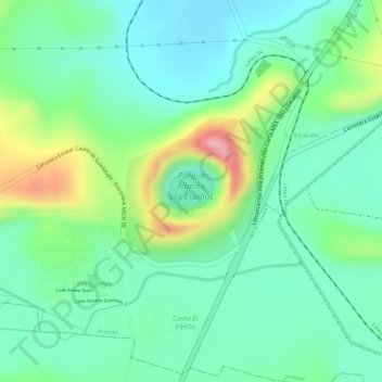
Name: Alberca de Los Espinos topographic map, elevation, terrain.
Average elevation: 6,552 ft
Minimum elevation: 6,391 ft
Maximum elevation: 6,893 ft