
Castiglione topographic map
Interactive map
Click on the map to display elevation.
About this map
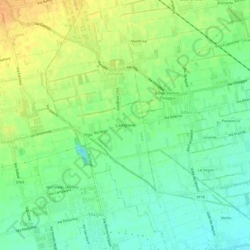
Name: Castiglione topographic map, elevation, terrain.
Location: Castiglione, Castione, Loria, Treviso, Veneto, 31037, Italia (45.66747 11.81394 45.70747 11.85394)
Average elevation: 197 ft
Minimum elevation: 148 ft
Maximum elevation: 256 ft