
Villa de Zaragoza topographic map
Interactive map
Click on the map to display elevation.
About this map
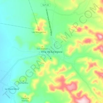
Name: Villa de Zaragoza topographic map, elevation, terrain.
Location: Villa de Zaragoza, Zaragoza, San Luis Potosi, Mexico (21.99693 -100.77154 22.07693 -100.69154)
Average elevation: 6,650 ft
Minimum elevation: 6,243 ft
Maximum elevation: 7,549 ft