
Costa Irala topographic map
Interactive map
Click on the map to display elevation.
About this map
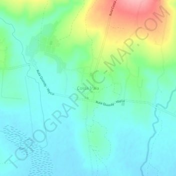
Name: Costa Irala topographic map, elevation, terrain.
Location: Costa Irala, Paraguarí, Región Oriental, Paraguay (-26.01928 -57.16811 -25.97928 -57.12811)
Average elevation: 509 ft
Minimum elevation: 404 ft
Maximum elevation: 801 ft