
Xochitepec topographic map
Interactive map
Click on the map to display elevation.
About this map
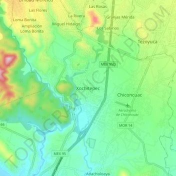
Name: Xochitepec topographic map, elevation, terrain.
Location: Xochitepec, Morelos, 62790, México (18.74317 -99.27084 18.82317 -99.19084)
Average elevation: 3,773 ft
Minimum elevation: 3,356 ft
Maximum elevation: 4,760 ft