
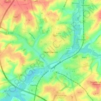
Saint-Quentin topographic map
Interactive map
Click on the map to display elevation.
About this map
Name: Saint-Quentin topographic map, elevation, terrain.
Average elevation: 315 ft
Minimum elevation: 217 ft
Maximum elevation: 440 ft
„St. Quentin, dessen turmhohes Kathedralendach man über den Höhenrücken zur linken gleich einem mächtigen Dach sehen kann, brannte während der Nacht.“