
Vytina topographic map
Interactive map
Click on the map to display elevation.
About this map
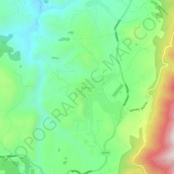
Name: Vytina topographic map, elevation, terrain.
Average elevation: 3,399 ft
Minimum elevation: 2,575 ft
Maximum elevation: 5,095 ft
Due to its altitude and inland location, Vytina has a temperate climate with cold and snowy winters and warm summers with pleasant nights. Precipitation is abundant year round.