
Olán topographic map
Interactive map
Click on the map to display elevation.
About this map
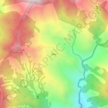
Name: Olán topographic map, elevation, terrain.
Average elevation: 5,007 ft
Minimum elevation: 3,340 ft
Maximum elevation: 6,631 ft
Other topographic maps
Click on a map to view its topography, its elevation and its terrain.
Paraíso
Costa Rica > Cantón Buenos Aires > Buenos Aires
Paraíso, Buenos Aires, Cantón Buenos Aires, Provincia Puntarenas, 60301, Costa Rica
Average elevation: 1,319 ft