
Nelapattu topographic map
Interactive map
Click on the map to display elevation.
About this map
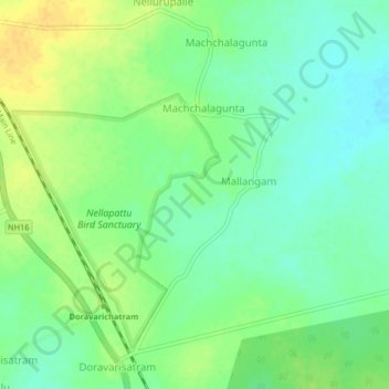
Name: Nelapattu topographic map, elevation, terrain.
Location: Nelapattu, Doravarisatram, Tirupati, Andhra Pradesh, India (13.80928 79.93810 13.84928 79.97810)
Average elevation: 89 ft
Minimum elevation: 49 ft
Maximum elevation: 131 ft
Other topographic maps
Click on a map to view its topography, its elevation and its terrain.
Nellapattu Bird Sanctuary
India > Andhra Pradesh > Doravarisatram > Machchalagunta
Nellapattu Bird Sanctuary, Machchalagunta, Doravarisatram, Tirupati, Andhra Pradesh, India
Average elevation: 92 ft