
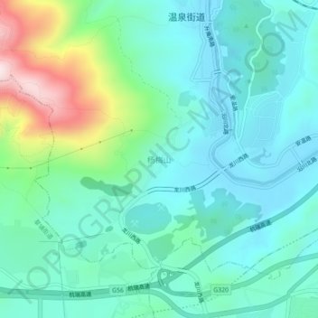
杨梅山 topographic map
Interactive map
Click on the map to display elevation.
About this map
Name: 杨梅山 topographic map, elevation, terrain.
Location: 杨梅山, 温泉街道, 安宁市, 云南省, 650300, 中国 (24.92535 102.42176 24.96535 102.46176)
Average elevation: 6,401 ft
Minimum elevation: 5,981 ft
Maximum elevation: 7,831 ft