
花莲 topographic map
Interactive map
Click on the map to display elevation.
About this map
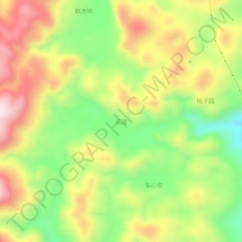
Name: 花莲 topographic map, elevation, terrain.
Location: 花莲, 龙潭镇, 酉阳土家族苗族自治县, 重庆市, 中国 (28.72069 108.89206 28.76069 108.93206)
Average elevation: 3,274 ft
Minimum elevation: 2,441 ft
Maximum elevation: 4,167 ft
Other topographic maps
Click on a map to view its topography, its elevation and its terrain.