
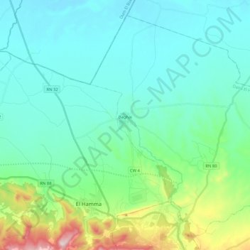
Baghaï topographic map
Interactive map
Click on the map to display elevation.
About this map
Name: Baghaï topographic map, elevation, terrain.
Location: Baghaï, Daïra El Hamma, Khenchela, Algérie (35.44293 7.08496 35.59195 7.29291)
Average elevation: 3,061 ft
Minimum elevation: 2,736 ft
Maximum elevation: 4,439 ft