
Obernalb topographic map
Interactive map
Click on the map to display elevation.
About this map
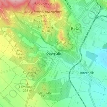
Name: Obernalb topographic map, elevation, terrain.
Average elevation: 886 ft
Minimum elevation: 705 ft
Maximum elevation: 1,237 ft
Other topographic maps
Click on a map to view its topography, its elevation and its terrain.
Retz
Österreich > Niederösterreich > Bezirk Hollabrunn > Gemeinde Retz > Retz
Retz, Gemeinde Retz, Bezirk Hollabrunn, Niederösterreich, 2070, Österreich
Average elevation: 958 ft