
Schönerstadt topographic map
Interactive map
Click on the map to display elevation.
About this map
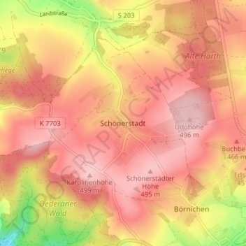
Name: Schönerstadt topographic map, elevation, terrain.
Average elevation: 1,453 ft
Minimum elevation: 1,060 ft
Maximum elevation: 1,640 ft
Other topographic maps
Click on a map to view its topography, its elevation and its terrain.
Pilz
Deutschland > Sachsen > Mittelsachsen > Oederan > Börnichen
Pilz, Börnichen, Oederan, Mittelsachsen, Sachsen, 09569, Deutschland
Average elevation: 1,404 ft