
平江街道 topographic map
Interactive map
Click on the map to display elevation.
About this map
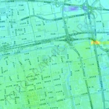
Name: 平江街道 topographic map, elevation, terrain.
Location: 平江街道, 姑苏区, 苏州市, 江苏省, 215001, 中国 (31.30794 120.60979 31.35129 120.64584)
Average elevation: 20 ft
Minimum elevation: -180 ft
Maximum elevation: 72 ft
Other topographic maps
Click on a map to view its topography, its elevation and its terrain.