
Danford Lake topographic map
Interactive map
Click on the map to display elevation.
About this map
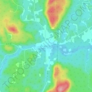
Name: Danford Lake topographic map, elevation, terrain.
Average elevation: 689 ft
Minimum elevation: 548 ft
Maximum elevation: 1,053 ft
Other topographic maps
Click on a map to view its topography, its elevation and its terrain.
Mont O'Brien
Canada > Québec > Pontiac (MRC) > Alleyn-et-Cawood
Mont O'Brien, Alleyn-et-Cawood, Pontiac (MRC), Outaouais, Québec, Canada
Average elevation: 794 ft