
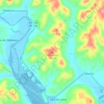
Furadouro topographic map
Interactive map
Click on the map to display elevation.
About this map
Name: Furadouro topographic map, elevation, terrain.
Location: Furadouro, Silves, Faro, 8300-038, Portugal (37.19793 -8.48502 37.19803 -8.48492)
Average elevation: 115 ft
Minimum elevation: -10 ft
Maximum elevation: 377 ft