
Lieler topographic map
Interactive map
Click on the map to display elevation.
About this map
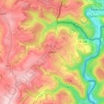
Name: Lieler topographic map, elevation, terrain.
Location: Lieler, Clervaux, Canton Clervaux, 9972, Luxembourg (50.10491 6.08904 50.14491 6.12904)
Average elevation: 1,470 ft
Minimum elevation: 1,004 ft
Maximum elevation: 1,768 ft