
Kémes topographic map
Interactive map
Click on the map to display elevation.
About this map
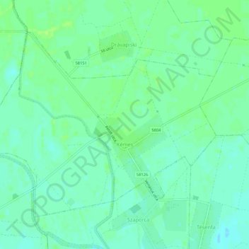
Name: Kémes topographic map, elevation, terrain.
Average elevation: 312 ft
Minimum elevation: 292 ft
Maximum elevation: 328 ft
Other topographic maps
Click on a map to view its topography, its elevation and its terrain.
Hosszúhetény
Hosszúhetény, Pécsi járás, Baranya megye, Transdanubie méridionale, Transdanubie, 7694, Hongrie
Average elevation: 1,119 ft
Gordisa
Gordisa, Siklósi járás, Baranya megye, Transdanubie méridionale, Transdanubie, 7853, Hongrie
Average elevation: 299 ft
Köblény
Hongrie > Baranya megye > Köblény
Köblény, Komlói járás, Baranya megye, Transdanubie méridionale, Transdanubie, Hongrie
Average elevation: 673 ft
Mohácsi járás
Mohácsi járás, Baranya megye, Transdanubie méridionale, Transdanubie, Hongrie
Average elevation: 390 ft