
Kampung Guar topographic map
Interactive map
Click on the map to display elevation.
About this map
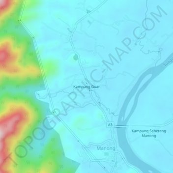
Name: Kampung Guar topographic map, elevation, terrain.
Location: Kampung Guar, Manong, Kuala Kangsar, Perak, 33800, Malaysia (4.58834 100.85510 4.62834 100.89510)
Average elevation: 240 ft
Minimum elevation: 69 ft
Maximum elevation: 1,257 ft