
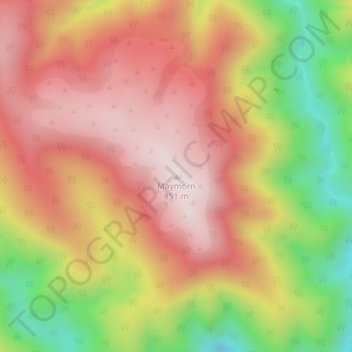
Maymorn topographic map
Interactive map
Click on the map to display elevation.
About this map
Name: Maymorn topographic map, elevation, terrain.
Location: Maymorn, Upper Hutt City, Wellington, New Zealand (-41.02290 175.19632 -41.02280 175.19642)
Average elevation: 1,939 ft
Minimum elevation: 807 ft
Maximum elevation: 2,746 ft
Other topographic maps
Click on a map to view its topography, its elevation and its terrain.
Upper Hutt
New Zealand > Wellington > Upper Hutt City
Upper Hutt, Upper Hutt City, Wellington, 5218, New Zealand
Average elevation: 889 ft