
Hellevoetsluis topographic map
Click on the map to display elevation.
About this map
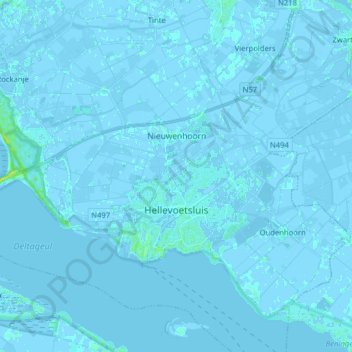
Name: Hellevoetsluis topographic map, elevation, terrain.
Location: Hellevoetsluis, Voorne aan Zee, South Holland, Netherlands (51.80502 4.03984 51.88160 4.19826)
Average elevation: 0 ft
Minimum elevation: -13 ft
Maximum elevation: 49 ft
Other topographic maps
Click on a map to view its topography, its elevation and its terrain.
Capelle aan den IJssel
Netherlands > South Holland > Capelle aan den IJssel
Dutch Topographic map of the municipality of Capelle aan den IJssel, June 2015.
Average elevation: -3 ft