
Slim topographic map
Interactive map
Click on the map to display elevation.
About this map
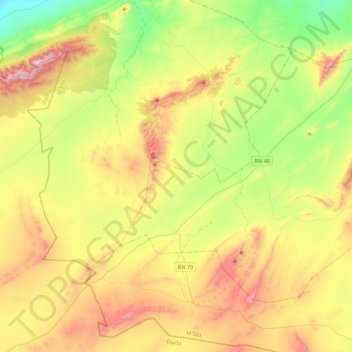
Name: Slim topographic map, elevation, terrain.
Location: Slim, Daïra Djebel Messaad, M'Sila, Algérie (34.82455 3.66524 35.08374 4.10529)
Average elevation: 3,550 ft
Minimum elevation: 2,520 ft
Maximum elevation: 5,030 ft