سخت سر topographic map
Interactive map
Click on the map to display elevation.
About this map
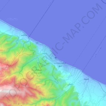
Name: سخت سر topographic map, elevation, terrain.
Average elevation: 1,056 ft
Minimum elevation: -95 ft
Maximum elevation: 8,517 ft

Click on the map to display elevation.
Name: سخت سر topographic map, elevation, terrain.
Average elevation: 1,056 ft
Minimum elevation: -95 ft
Maximum elevation: 8,517 ft