
Sarare topographic map
Interactive map
Click on the map to display elevation.
About this map
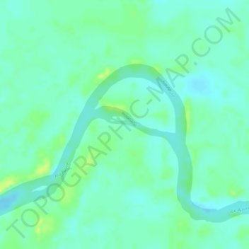
Name: Sarare topographic map, elevation, terrain.
Location: Sarare, Guasdualito, Municipio Páez, Estado Apure, Venezuela (7.20571 -70.94234 7.20917 -70.93176)
Average elevation: 443 ft
Minimum elevation: 420 ft
Maximum elevation: 476 ft