
Jarapalos topographic map
Interactive map
Click on the map to display elevation.
About this map
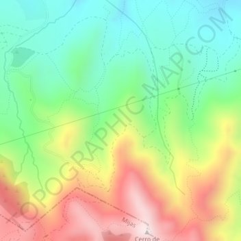
Name: Jarapalos topographic map, elevation, terrain.
Location: Jarapalos, Alhaurín de la Torre, Málaga, Andalucía, España (36.62278 -4.62590 36.64278 -4.60590)
Average elevation: 1,631 ft
Minimum elevation: 748 ft
Maximum elevation: 2,963 ft