
Saint-Martin topographic map
Interactive map
Click on the map to display elevation.
About this map
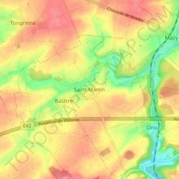
Name: Saint-Martin topographic map, elevation, terrain.
Location: Saint-Martin, Jemeppe-sur-Sambre, Namur, Wallonia, 5190, Belgium (50.48084 4.62726 50.52084 4.66726)
Average elevation: 466 ft
Minimum elevation: 322 ft
Maximum elevation: 568 ft