
Ta'izz topographic map
Click on the map to display elevation.
Ta'izz
Taiz (Arabic: تَعِزّ, romanized: Taʿizz) is a city in southwestern Yemen. It is located in the Yemeni highlands, near the port city of Mocha on the Red Sea, at an elevation of about 1,400 metres (4,600 ft) above sea level. It is the capital of Taiz Governorate. As of 2023, the city has an estimated population of approximately 940,600 residents making it the third largest city in Yemen.
About this map
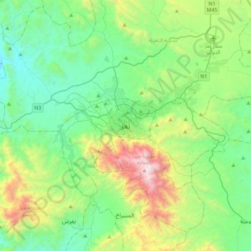
Name: Ta'izz topographic map, elevation, terrain.
Location: Ta'izz, Al Qahirah District, Ta'izz Governorate, Yemen (13.41522 43.86153 13.73522 44.18153)
Average elevation: 4,646 ft
Minimum elevation: 2,881 ft
Maximum elevation: 9,816 ft
Other topographic maps
Click on a map to view its topography, its elevation and its terrain.