
Kalannie topographic map
Interactive map
Click on the map to display elevation.
About this map
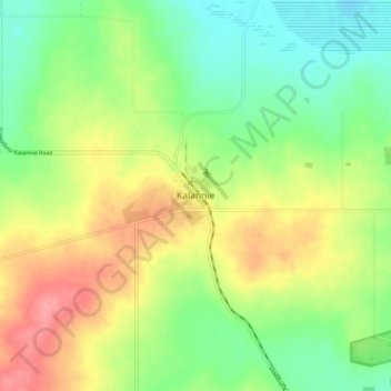
Name: Kalannie topographic map, elevation, terrain.
Location: Kalannie, Western Australia, Australia (-30.40371 117.07812 -30.32371 117.15812)
Average elevation: 1,056 ft
Minimum elevation: 935 ft
Maximum elevation: 1,217 ft