
Atahualpa topographic map
Interactive map
Click on the map to display elevation.
About this map
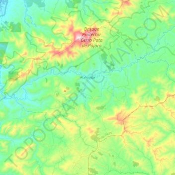
Name: Atahualpa topographic map, elevation, terrain.
Location: Atahualpa, Pedernales, Manabí, Ecuador (-0.10788 -80.06474 0.02792 -79.87050)
Average elevation: 761 ft
Minimum elevation: 0 ft
Maximum elevation: 2,602 ft