
Blackstrap topographic map
Interactive map
Click on the map to display elevation.
About this map
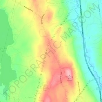
Name: Blackstrap topographic map, elevation, terrain.
Location: Blackstrap, Cumberland County, Maine, USA (43.74869 -70.35061 43.78869 -70.31061)
Average elevation: 249 ft
Minimum elevation: 56 ft
Maximum elevation: 489 ft