
Fietta topographic map
Interactive map
Click on the map to display elevation.
About this map
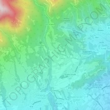
Name: Fietta topographic map, elevation, terrain.
Location: Fietta, TV, Vénétie, 31017, Italie (45.82380 11.82663 45.86380 11.86663)
Average elevation: 1,411 ft
Minimum elevation: 676 ft
Maximum elevation: 4,101 ft