
Havelberg topographic map
Interactive map
Click on the map to display elevation.
About this map
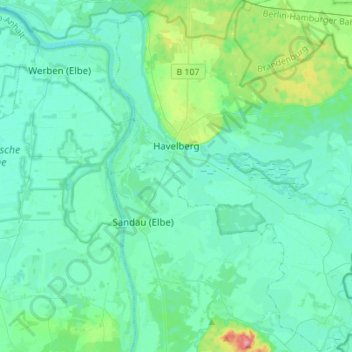
Name: Havelberg topographic map, elevation, terrain.
Location: Havelberg, Stendal, Saxony-Anhalt, 39539, Germany (52.72705 12.02232 52.89436 12.25790)
Average elevation: 105 ft
Minimum elevation: 62 ft
Maximum elevation: 328 ft