
Zeiselmauer topographic map
Interactive map
Click on the map to display elevation.
About this map
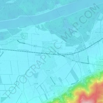
Name: Zeiselmauer topographic map, elevation, terrain.
Location: Zeiselmauer, Bezirk Tulln, Niederösterreich, 3424, Österreich (48.30754 16.15629 48.34754 16.19629)
Average elevation: 597 ft
Minimum elevation: 535 ft
Maximum elevation: 1,243 ft