
Bukit Ketri topographic map
Interactive map
Click on the map to display elevation.
About this map
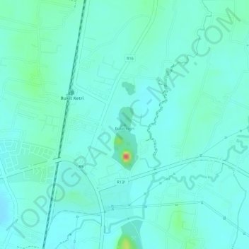
Name: Bukit Ketri topographic map, elevation, terrain.
Location: Bukit Ketri, Kangar, Perlis, 02400, Malaysia (6.52023 100.26292 6.52033 100.26302)
Average elevation: 72 ft
Minimum elevation: 30 ft
Maximum elevation: 240 ft
Other topographic maps
Click on a map to view its topography, its elevation and its terrain.
Perlis River
Perlis River, Kangar, Perlis, 01000, Malaysia
Average elevation: 75 ft
Taman Sena Indah
Taman Sena Indah, Kangar, Perlis, 01300, Malaysia
Average elevation: 16 ft