
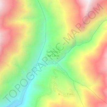
San Pedro de Cárac topographic map
Interactive map
Click on the map to display elevation.
About this map
Name: San Pedro de Cárac topographic map, elevation, terrain.
Location: San Pedro de Cárac, Provincia de Huaral, Lima, Perú (-11.21217 -76.80004 -11.17217 -76.76004)
Average elevation: 9,462 ft
Minimum elevation: 7,182 ft
Maximum elevation: 11,946 ft