
McEwen topographic map
Interactive map
Click on the map to display elevation.
About this map
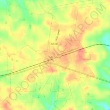
Name: McEwen topographic map, elevation, terrain.
Average elevation: 810 ft
Minimum elevation: 709 ft
Maximum elevation: 869 ft
Other topographic maps
Click on a map to view its topography, its elevation and its terrain.
Waverly
United States > Tennessee > Humphreys County
Waverly, Humphreys County, Tennessee, United States
Average elevation: 597 ft
New Johnsonville
United States > Tennessee > Humphreys County
New Johnsonville, Humphreys County, Tennessee, 37134, United States
Average elevation: 433 ft