
Urimaco topographic map
Interactive map
Click on the map to display elevation.
About this map
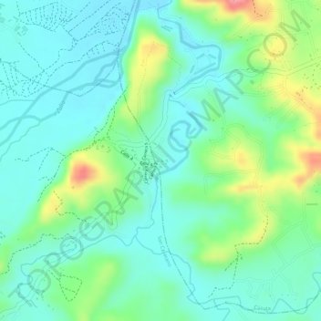
Name: Urimaco topographic map, elevation, terrain.
Average elevation: 751 ft
Minimum elevation: 643 ft
Maximum elevation: 1,001 ft
Other topographic maps
Click on a map to view its topography, its elevation and its terrain.
canal de aguas lluvias
Colombia > Norte de Santander > Cúcuta > Perímetro Urbano Cúcuta
canal de aguas lluvias, Carlos Garcia Lozada, Comuna 6 - Norte, Perímetro Urbano Cúcuta, Cúcuta, Oriental, Norte de Santander, RAP Gran Santander, 540002, Colombia
Average elevation: 1,001 ft
barrio Ospina Perez
Colombia > Norte de Santander > Cúcuta > Cúcuta > barrio Ospina Perez
barrio Ospina Perez, Cúcuta, Oriental, Norte de Santander, 540013, Colombia
Average elevation: 1,024 ft
Zona Industrial
Colombia > Norte de Santander > Cúcuta > Cúcuta > Zona Industrial
Zona Industrial, Cúcuta, Oriental, Norte de Santander, 047, Colombia
Average elevation: 1,014 ft