
Kālāgarh topographic map
Interactive map
Click on the map to display elevation.
About this map
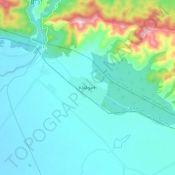
Name: Kālāgarh topographic map, elevation, terrain.
Location: Kālāgarh, Kotdwara, Pauri Garhwal, Uttarakhand, India (29.43737 78.74513 29.51737 78.82513)
Average elevation: 1,086 ft
Minimum elevation: 817 ft
Maximum elevation: 2,264 ft