
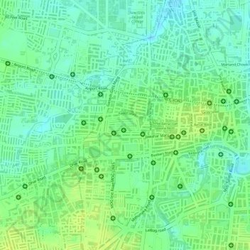
Shahid Bhagat Singh Udhyan topographic map
Interactive map
Click on the map to display elevation.
About this map
Name: Shahid Bhagat Singh Udhyan topographic map, elevation, terrain.
Average elevation: 1,814 ft
Minimum elevation: 1,785 ft
Maximum elevation: 1,841 ft
Other topographic maps
Click on a map to view its topography, its elevation and its terrain.
Ralamandal, Indore
India > Madhya Pradesh > Indore > Ralamandal, Indore
Ralamandal, Indore, Indore, Indore Tahsil, Indore, Madhya Pradesh, 452001, India
Average elevation: 1,906 ft
Chambal River
India > Madhya Pradesh > Indore
Chambal River, Indore, Madhya Pradesh, 452001, India
Average elevation: 2,123 ft
Meghdoot Gardens
India > Madhya Pradesh > Indore
Meghdoot Gardens, Lasudia Mori, Indore, Madhya Pradesh, 452001, India
Average elevation: 1,791 ft