
Ghiacciaio di Indren topographic map
Interactive map
Click on the map to display elevation.
About this map
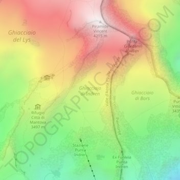
Name: Ghiacciaio di Indren topographic map, elevation, terrain.
Average elevation: 11,286 ft
Minimum elevation: 8,891 ft
Maximum elevation: 13,780 ft