
Pagbilao Grande Island topographic map
Interactive map
Click on the map to display elevation.
About this map
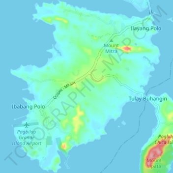
Name: Pagbilao Grande Island topographic map, elevation, terrain.
Average elevation: 43 ft
Minimum elevation: -7 ft
Maximum elevation: 427 ft
Other topographic maps
Click on a map to view its topography, its elevation and its terrain.
Pagbilao
Philippines > Quezon > Pagbilao
Pagbilao, Quezon, Calabarzon, 4302, Philippines
Average elevation: 148 ft