
Ambly topographic map
Interactive map
Click on the map to display elevation.
About this map
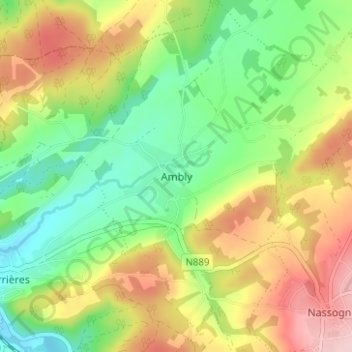
Name: Ambly topographic map, elevation, terrain.
Location: Ambly, Luxembourg, Wallonie, 6953, Belgique (50.12418 5.29423 50.16418 5.33423)
Average elevation: 958 ft
Minimum elevation: 673 ft
Maximum elevation: 1,342 ft