
Gmeinerhof topographic map
Interactive map
Click on the map to display elevation.
About this map
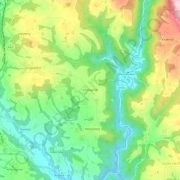
Name: Gmeinerhof topographic map, elevation, terrain.
Location: Gmeinerhof, Pregarten, Bezirk Freistadt, 4230, Österreich (48.34110 14.54940 48.38110 14.58940)
Average elevation: 1,490 ft
Minimum elevation: 1,089 ft
Maximum elevation: 2,142 ft